Digitizing wetlands for the National Wetlands Inventory and Joint Base Elmendorf-Richardson (including field work):
These files are meant to represent the work I completed by the end of my internship with the US Fish and Wildlife Service from April 2022-February 2023. They are posted here as watermarked drafts with permission, but they are not the final versions distributed to the public after official review-- that will happen later in 2023.
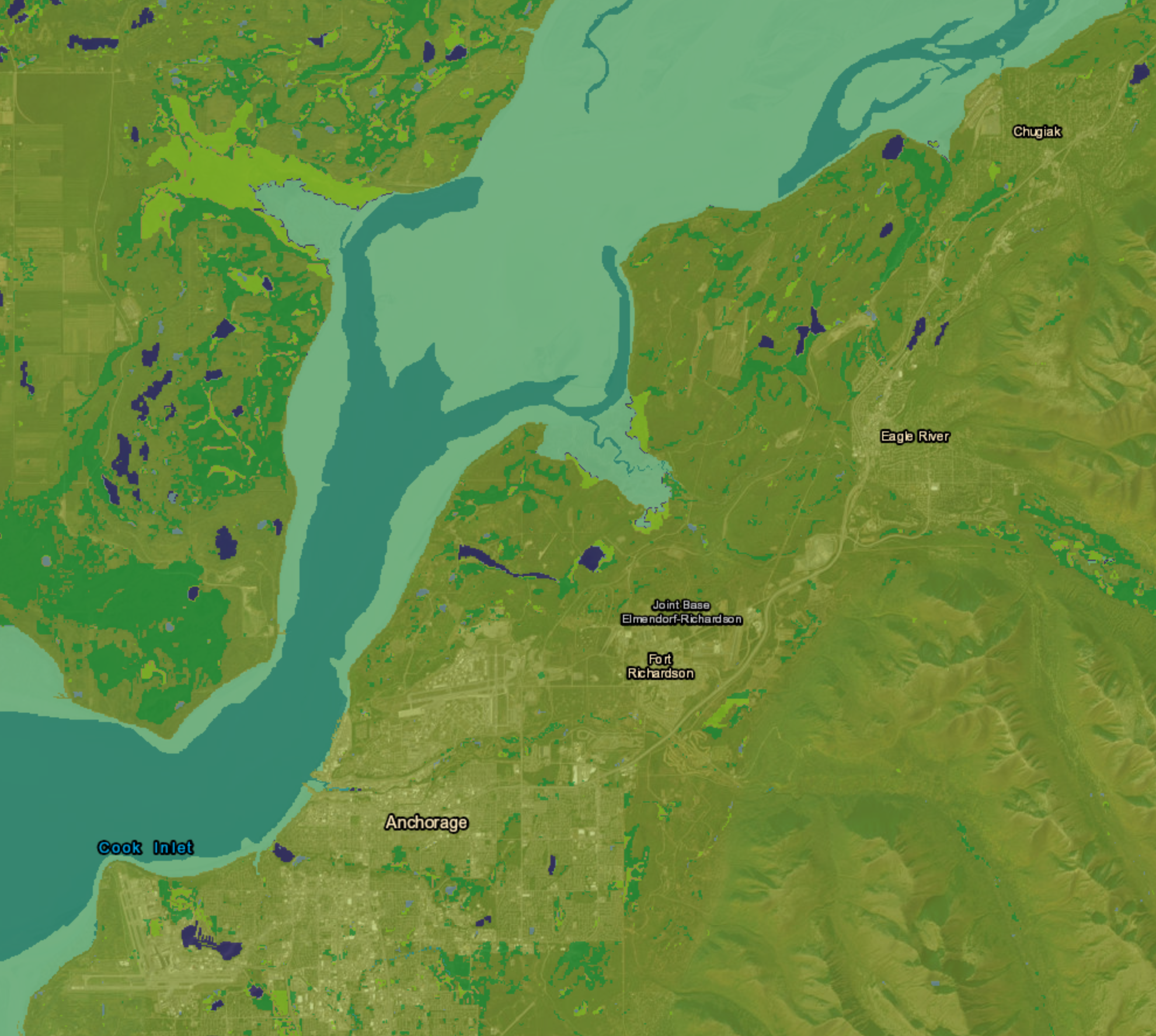
Updated all wetland boundaries and classifications on Joint Base Elmendorf-Richardson (JBER) for the National Wetlands Inventory (NWI) using ArcGIS Pro. Available on the NWI Wetlands Mapper by end of 2023.
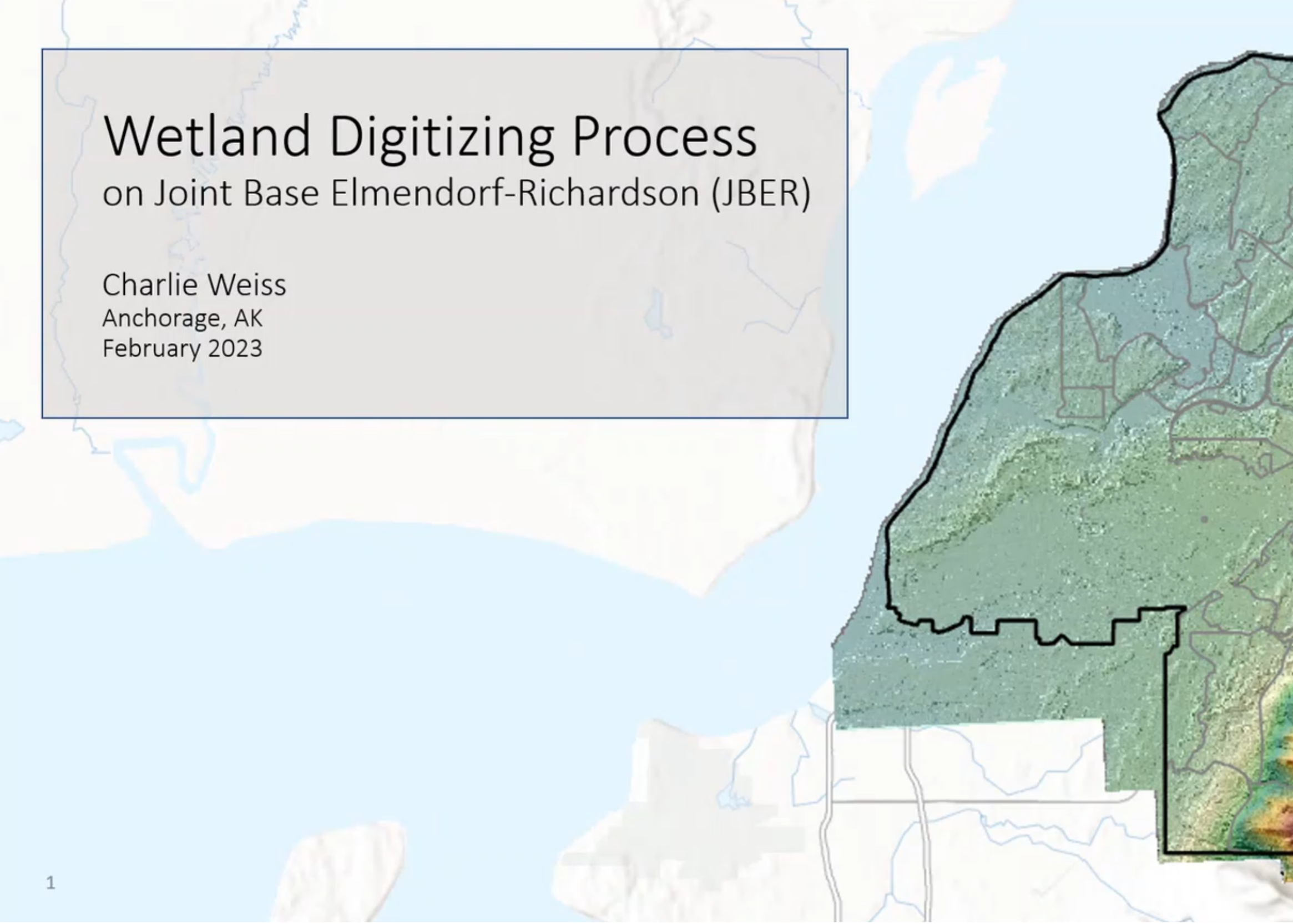
This is a short training video on digitizing wetlands in ArcGIS Pro, made for the National Wetlands Inventory. I adapted it from a portion of my final presentation to USFWS and US Air Force stakeholders about mapping the wetlands on Joint-Base Elmendorf Richardson after a request from the audience. Watch it here!
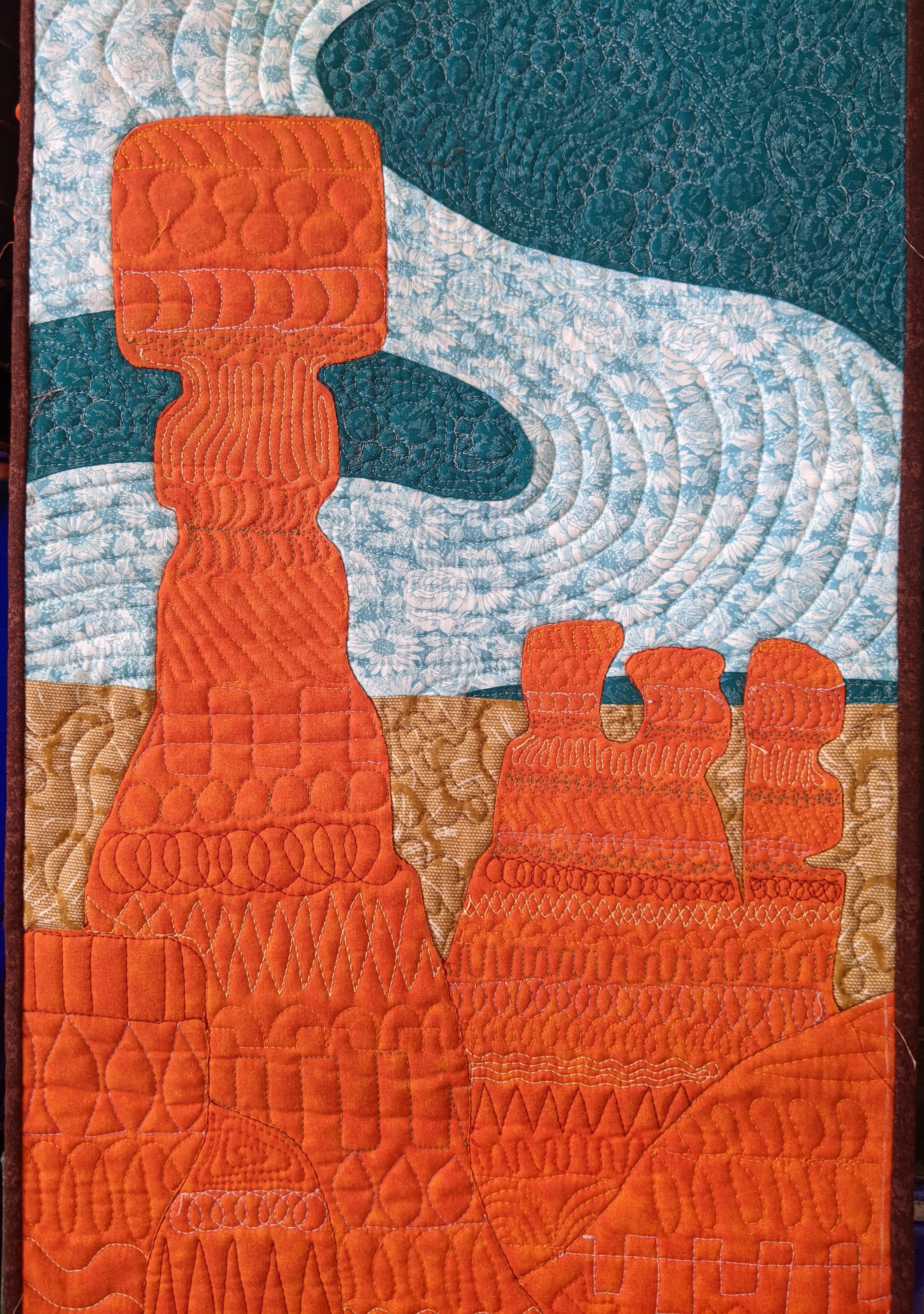
I made a free motion quilt based off of a snarky poster designed by Amber Share (@subparparks on Instagram)
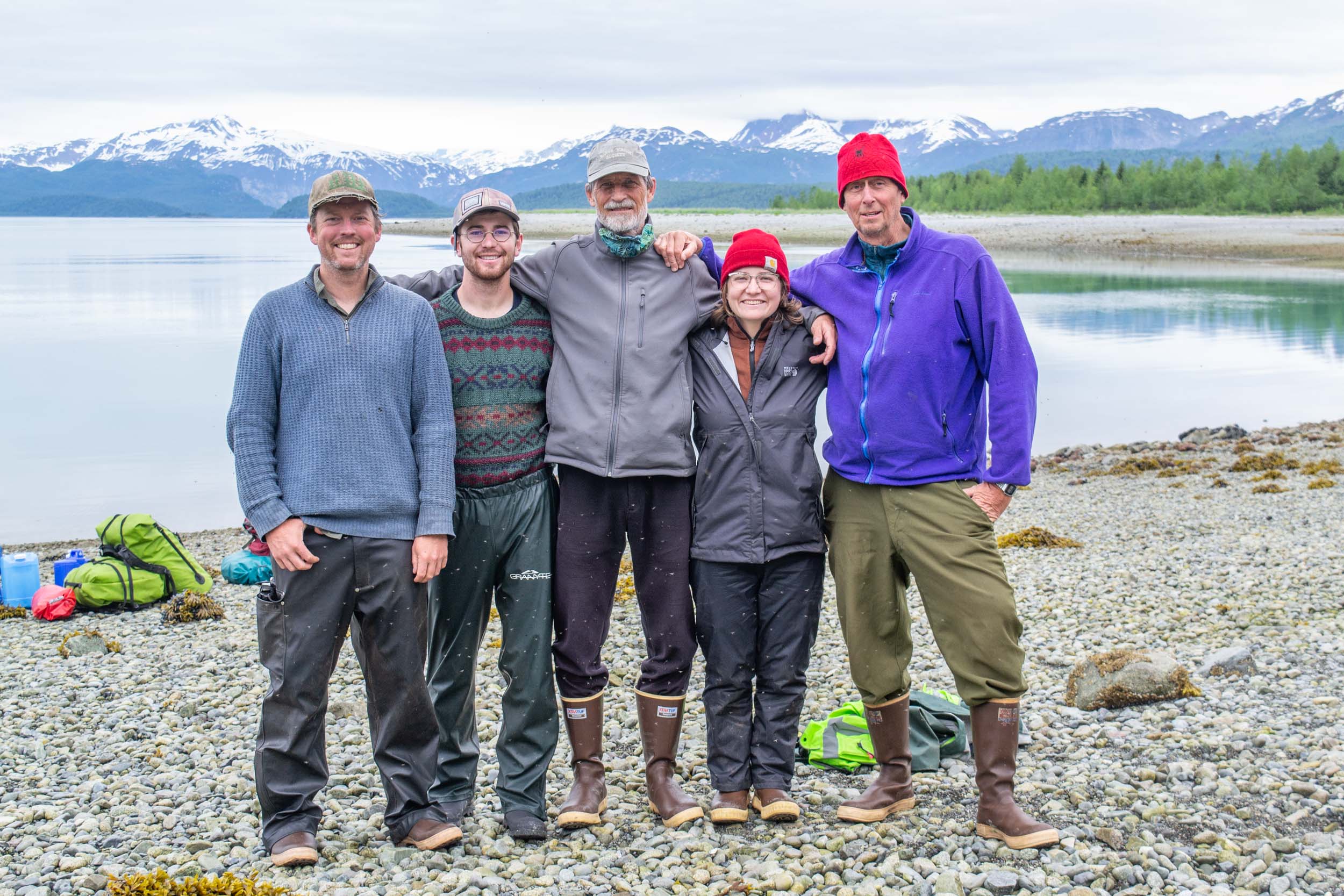
I volunteered to travel and camp for 2.5 weeks with four other team members through the Alaskan wilderness to study primary forest succession. We relocted and documented the status of 50 plots in remote marine environments in Glacier Bay National Park, braving poor weather, biting insects, and bear country. I've never had so much fun! Read about the experience from the project lead's blog here and here.
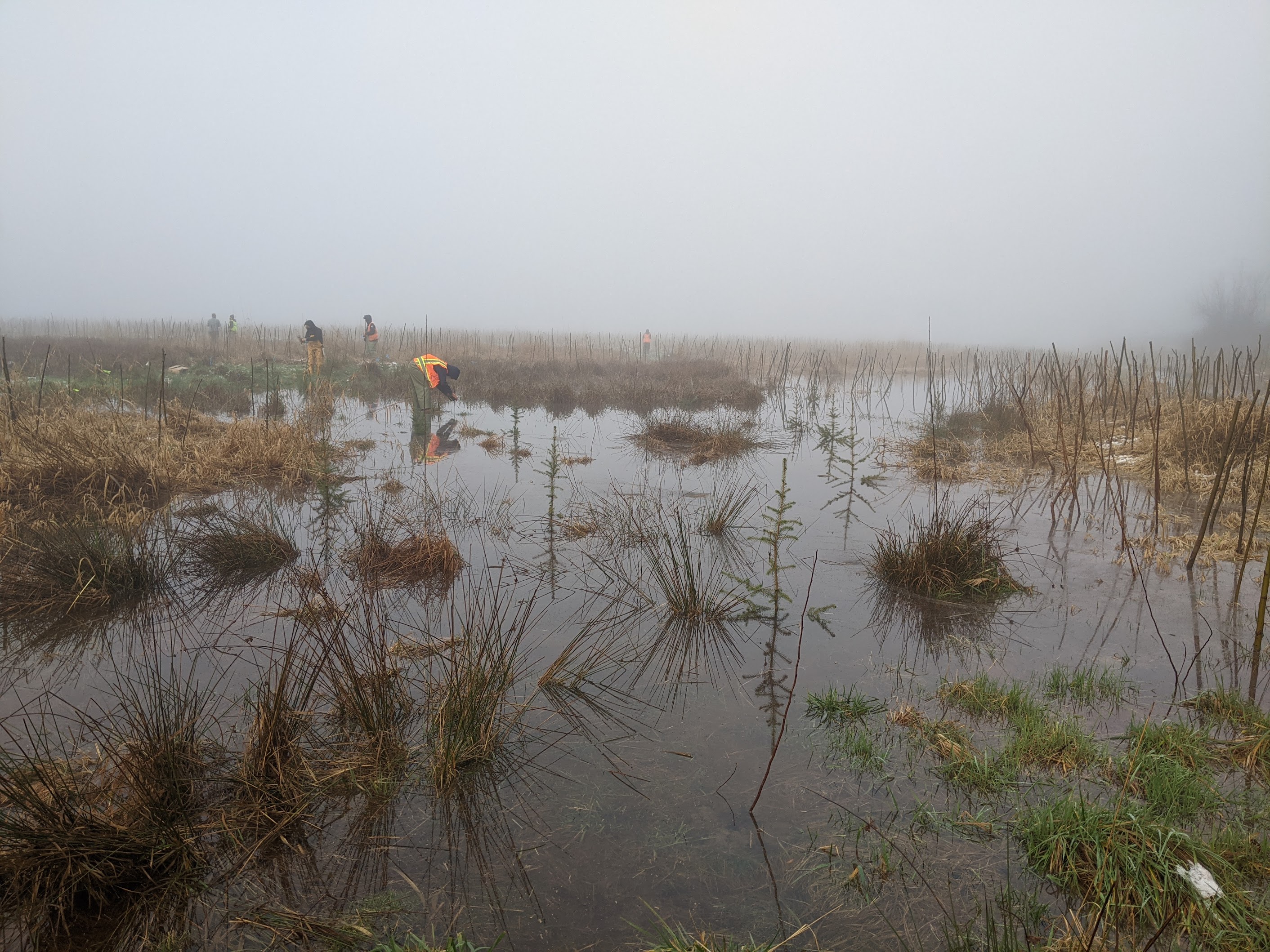
As a crew member in the Washington Conservation Corps (WCC), I restored native riparian and wetland ecosystems in King County, WA. I wrestled with Himalayan blackberry and English Ivy, personally planted over 4000 native trees, shrubs, and live stakes, and kept the team safe and healthy with daily safety talks.
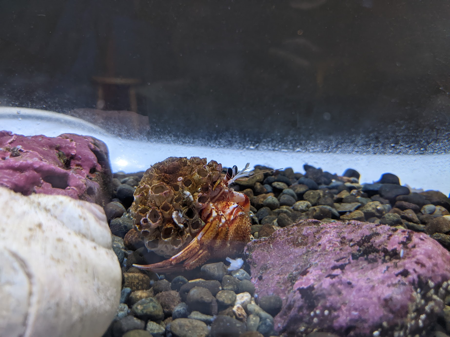
I volunteer as an interpreter at the Seattle Aquarium's indoor touch pool exhibits, encouraging empathy and curiosity in our squeamish visitors. Stop by for a sea urchin hug!
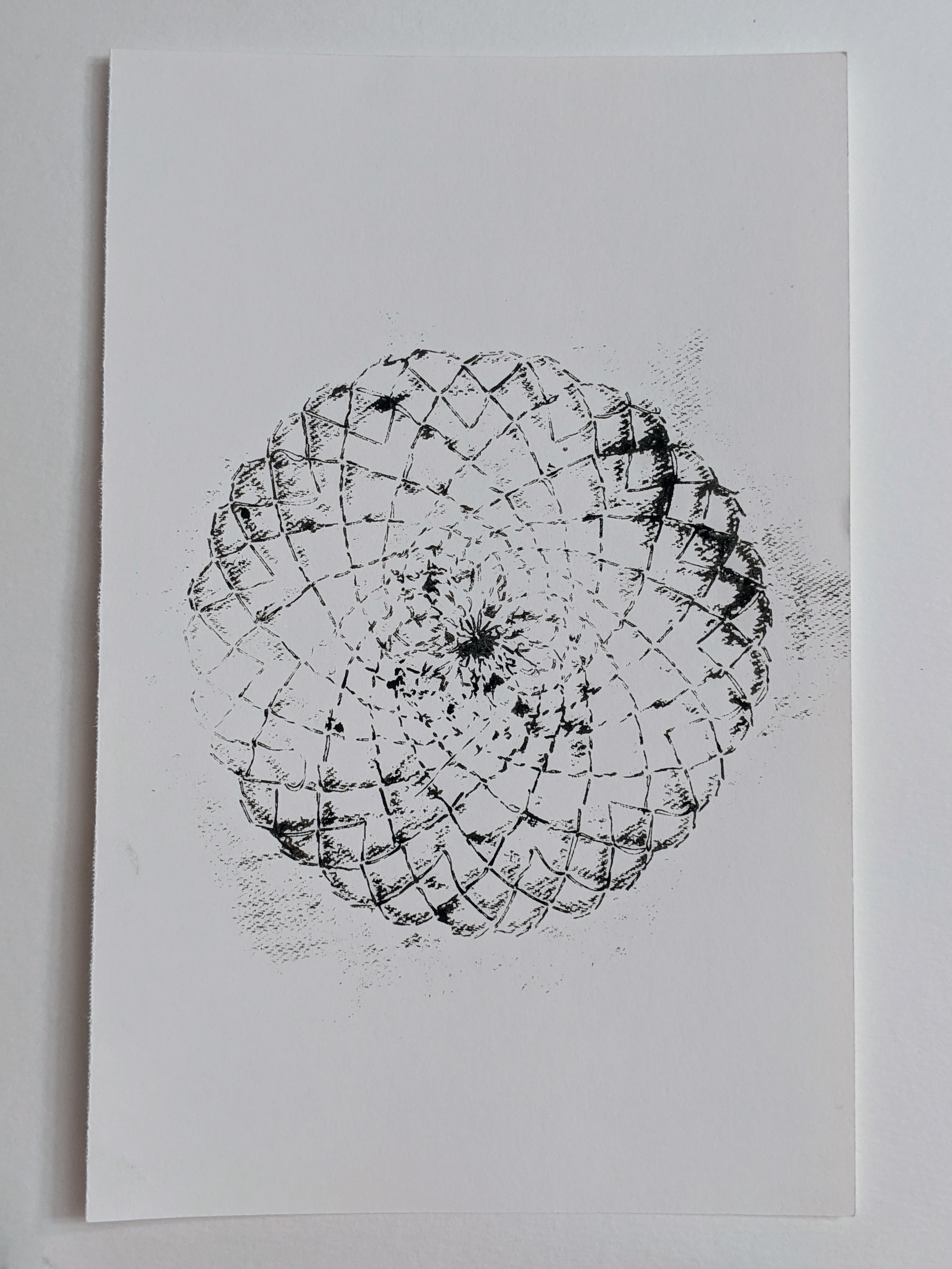
This project brought me light in those early quarantine days. I generated random spirals using node.js, embroidered my favorites, and used the embroidery as ink stamps. Check it out here!
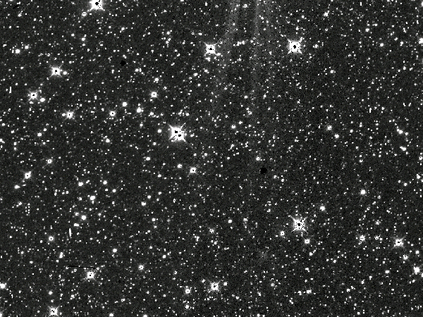
I implemented a k-means clustering algorithm (using Python libraries such as OpenCV, scikit-learn, and SciPy) to classify cropped areas of images from the NEOWISE satellite into "cosmic ray" or "not cosmic ray." Checkout this notebook on my Github to see my work.
This is project 6 with a submarine picture and tags environment and home.