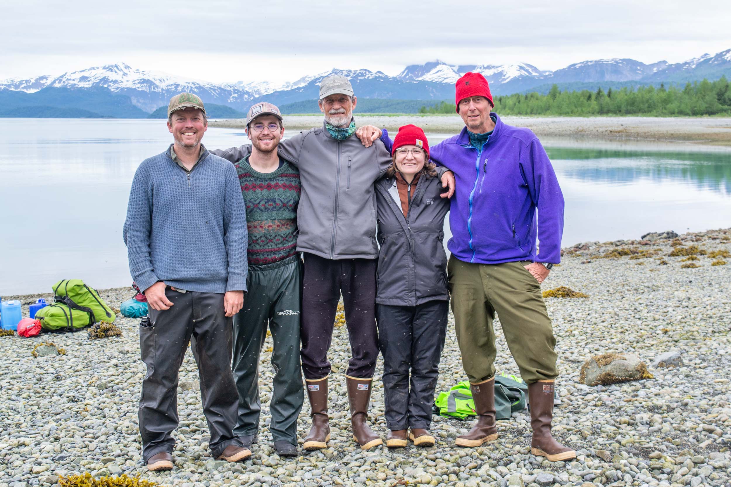
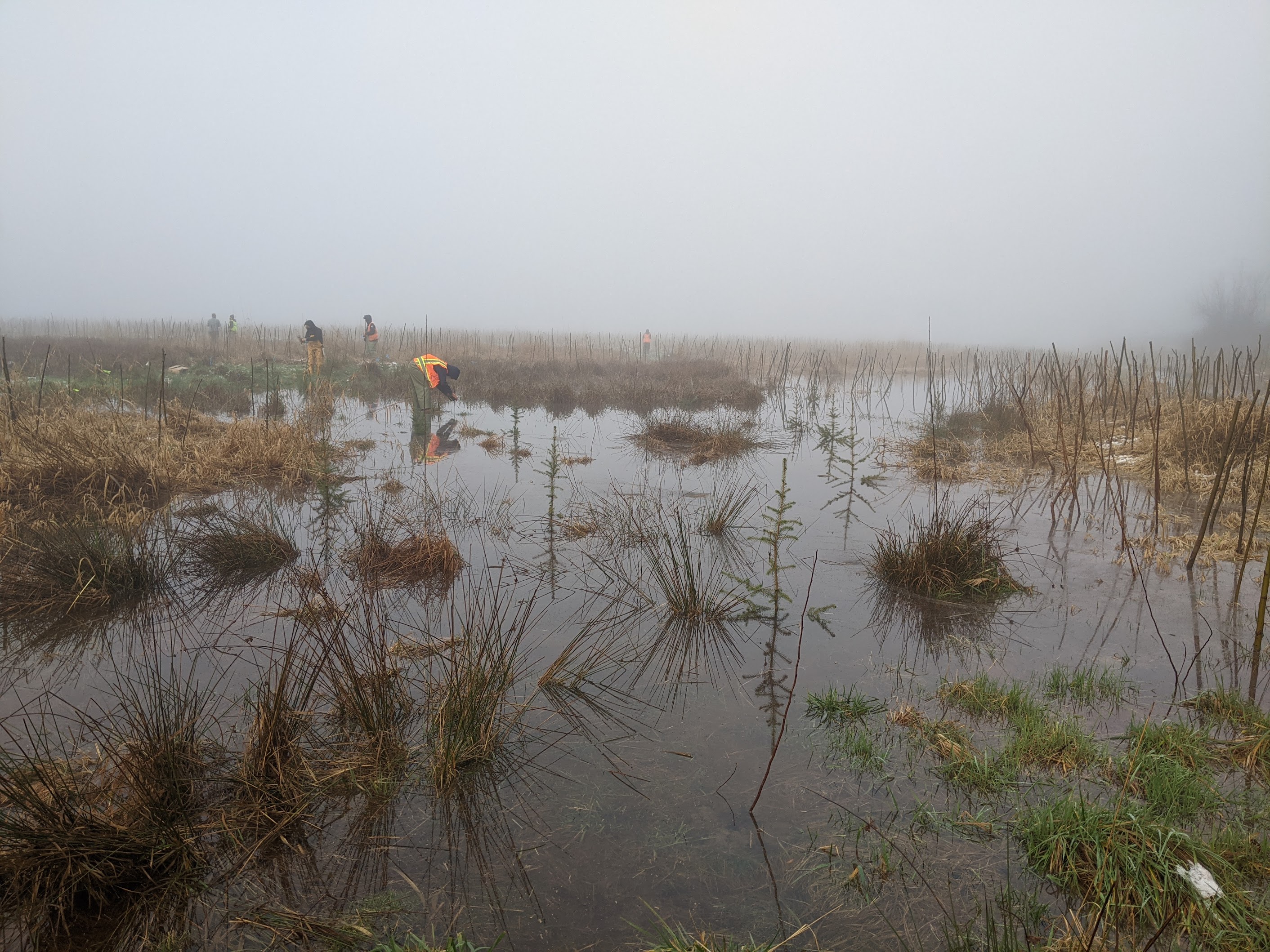
In April of 2022, I started a year-long internship with the US Fish and Wildlife Service (USFWS), funded by the Student Conservation Association (SCA). I spent about two months up in Anchorage, AK, surveying wetlands in the field, then came home to Seattle to digitize them into the National Wetland Inventory (NWI) database.
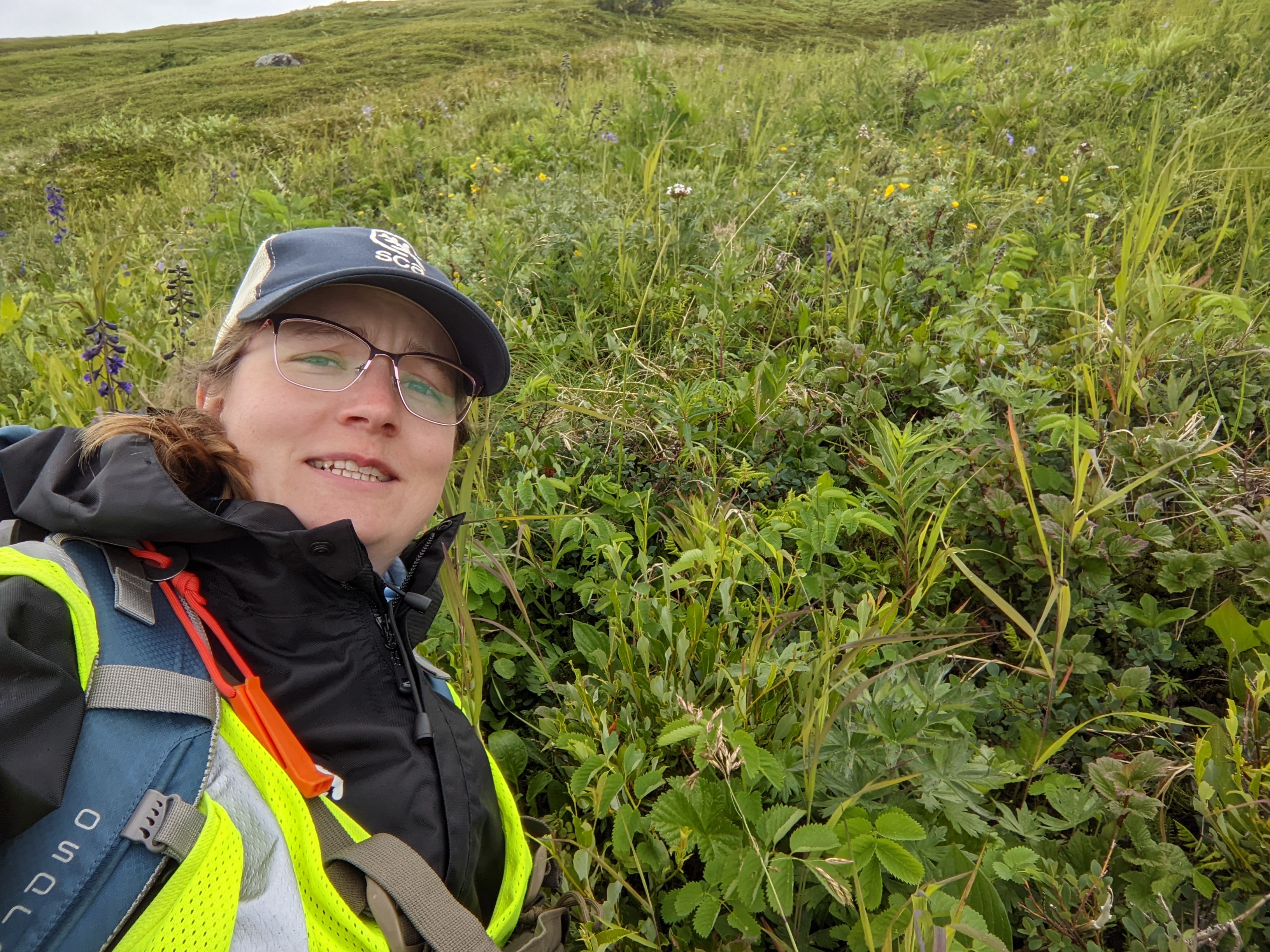
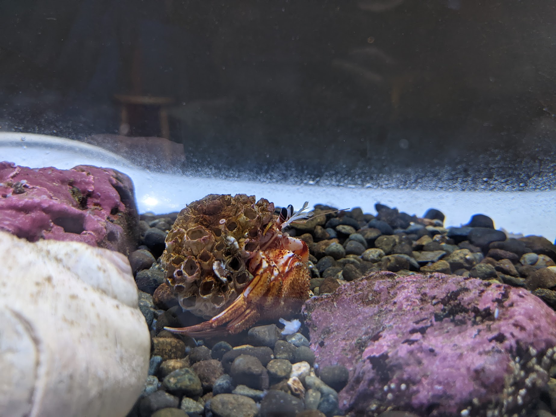
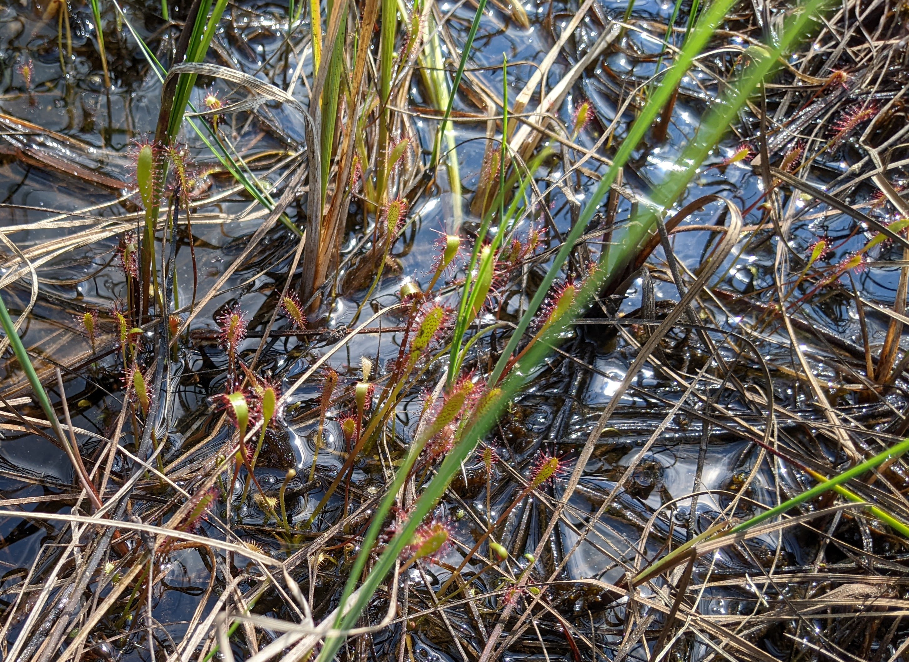
In the field I got to explore a ton of incredible wetland ecosystems, many of which I had never seen before! Skipping through the alpine on dense mats of stunted shrubs is one of my most treasured memories. And I'll never forget the burst of excitement I felt seeing my first wild sundew!
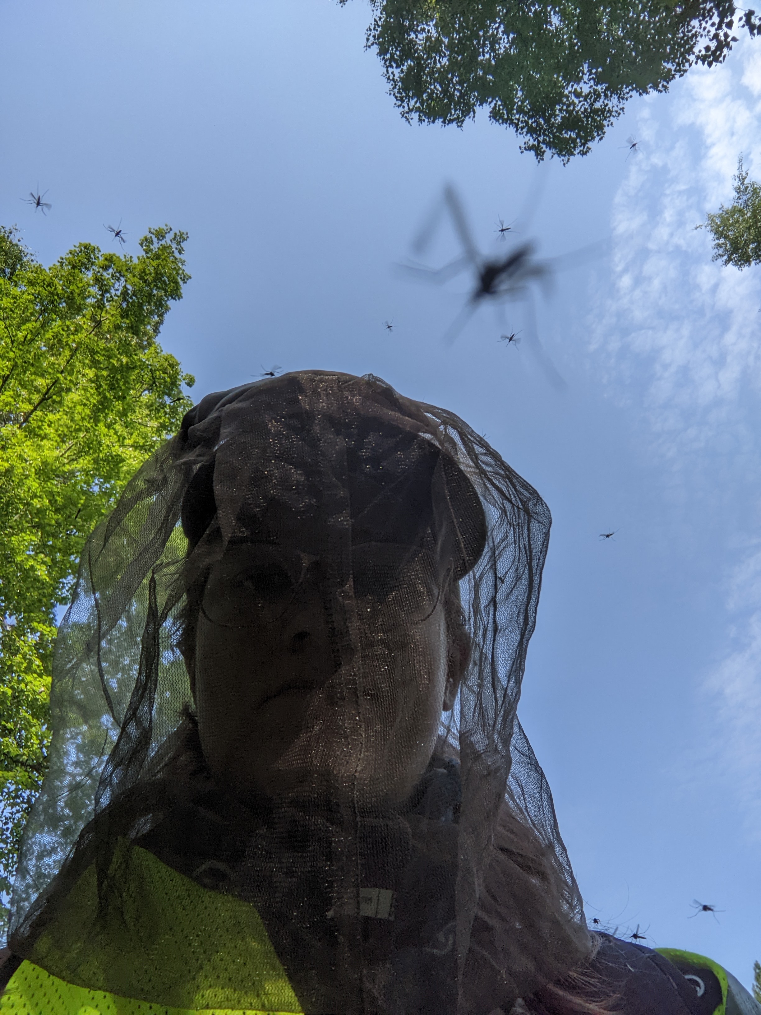
Alaskan wetlands aren't without their struggles, though. They really aren't kidding about the mosquitos-- on an average day, I could look down and count hundreds (hundreds!) of the blood-suckers on my clothes. I can joyously gatekeep now that I'm back in Seattle: "Oh this? It's nothing! You should see Alaska." (I kid)
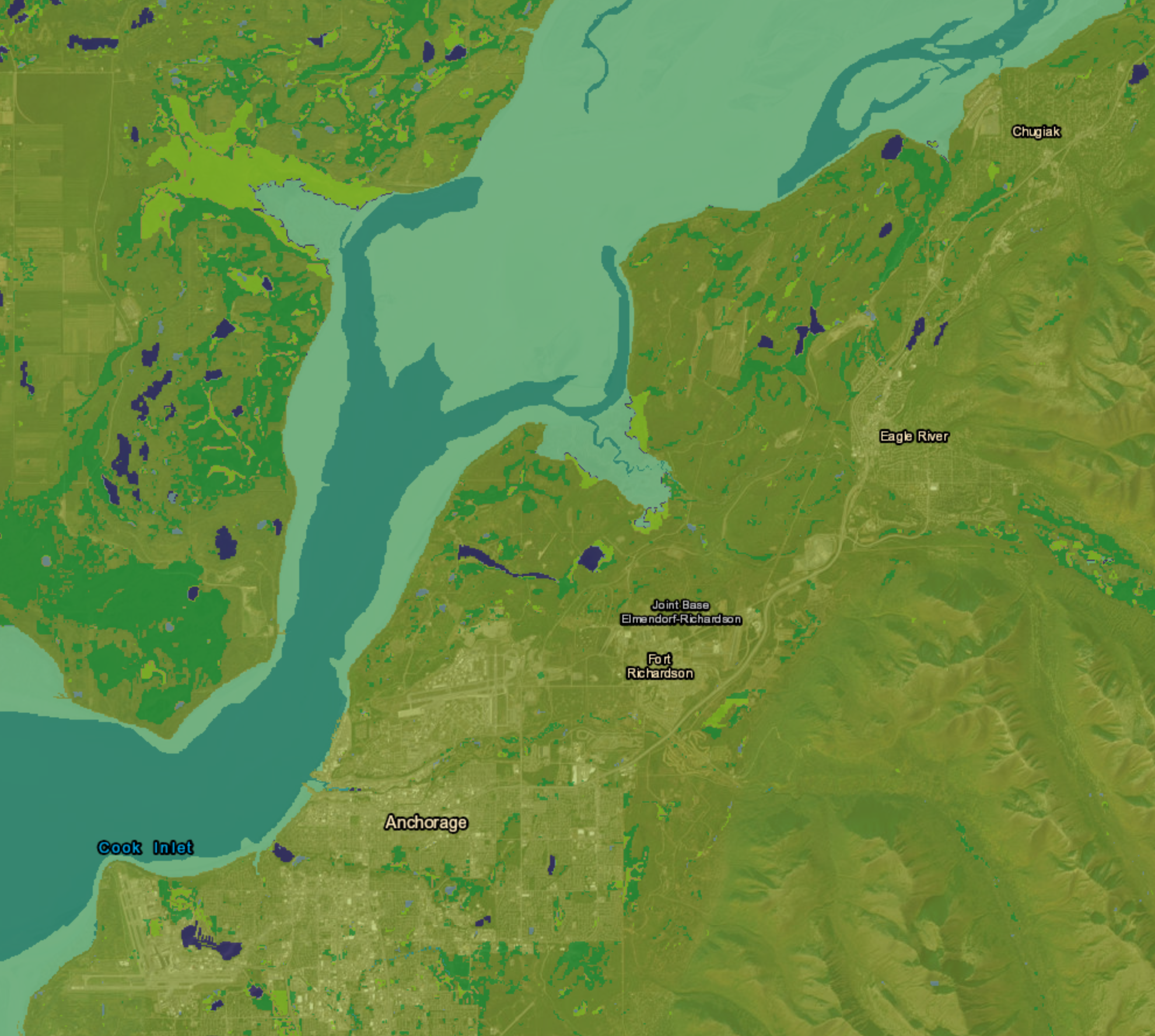
It was fascinating how my field work translated to working in ArcGIS Pro. Layers of CIR, RGB, and LiDAR imagery showed me the grand landscape of the wetlands I visited, but I could still picture each one: "Oh, this magenta patch is where I topped out my boot, this depression is where we ate those Cloudberries..." Thousands of wetlands later, I'm so excited to see my work go up on the NWI Mapper! I've been promised it'll happen by the end of 2023.
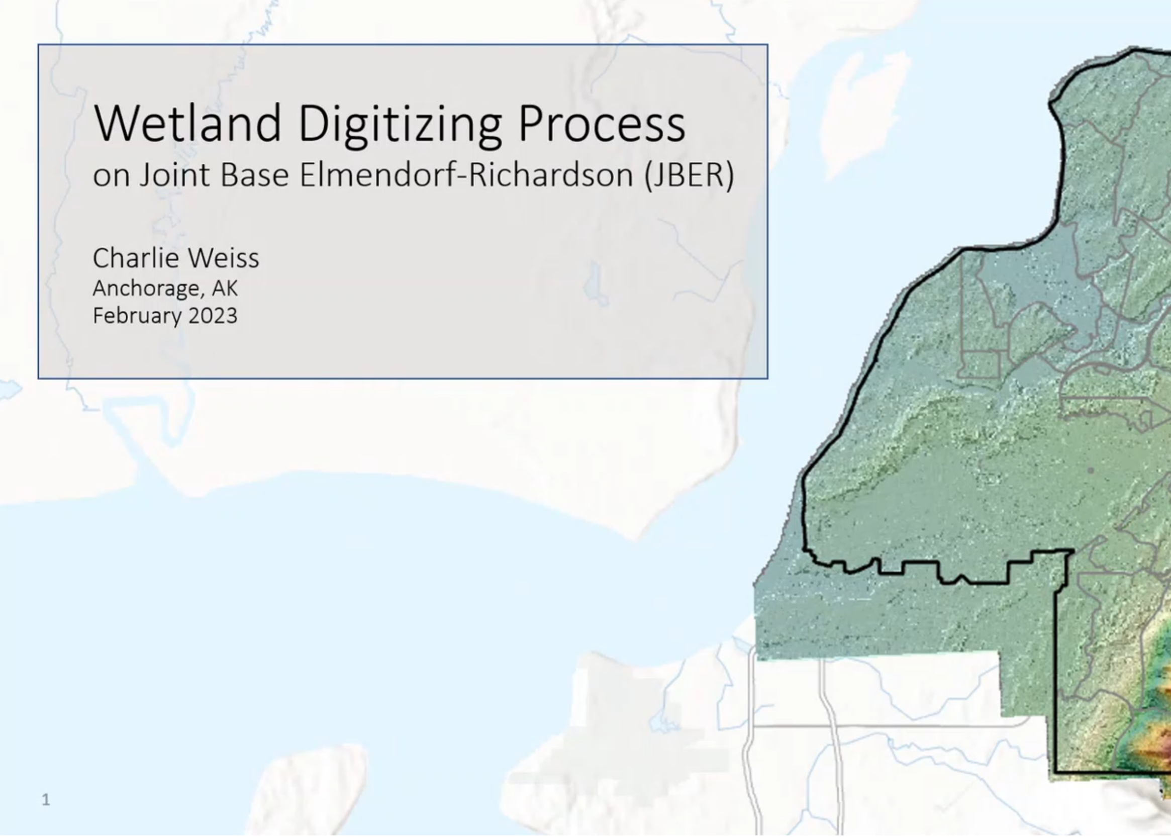
And since I'm sure you'd like to see the more technical stuff from this project, please check out my reports and presentations here.
Thanks for reading!